Capturing Your World from a New Perspective
100%
Precision and Efficiency
4K
Photography/Videography
FAA Certified
360°
Comprehensive Aerial Coverage
Give thanks in all circumstances; for this is God’s will for you in Christ Jesus.
1 Thessalonians 5:18
Our Industries
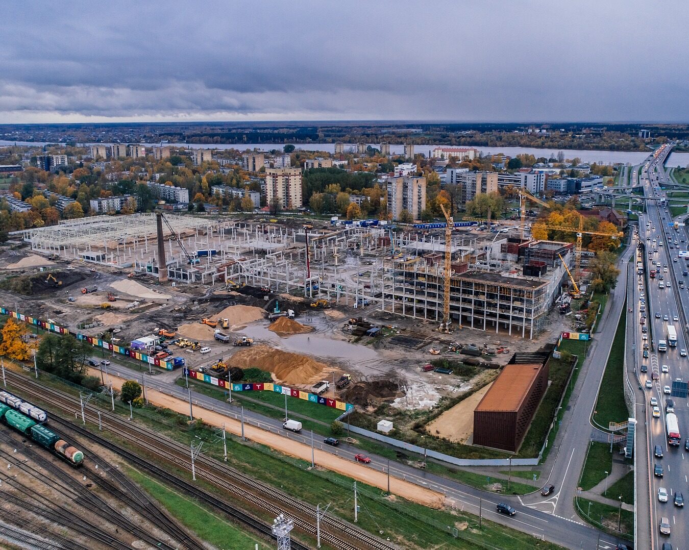
Construction
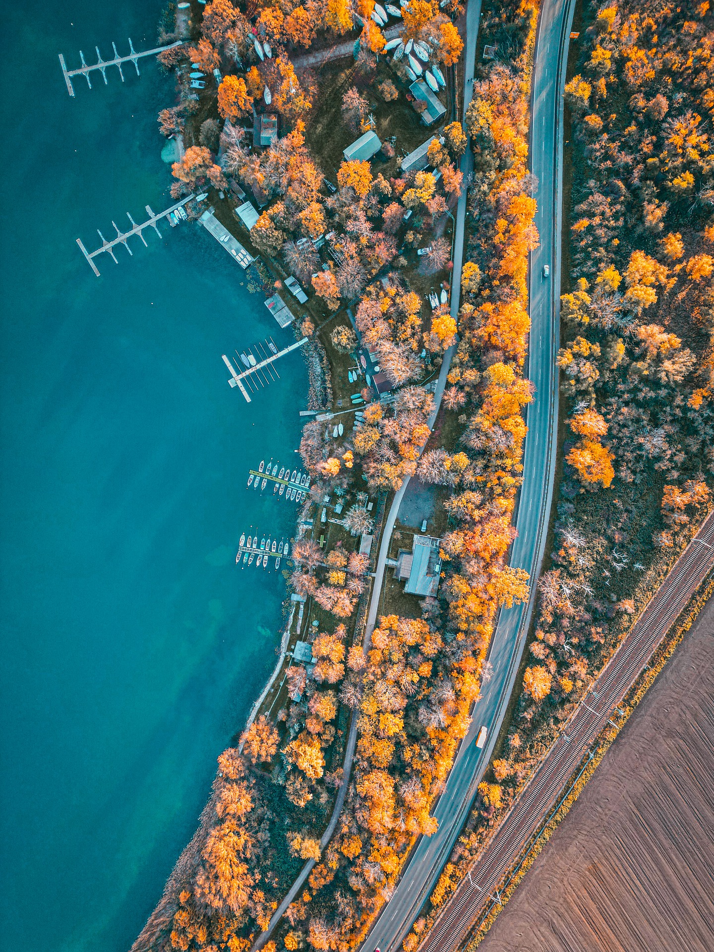
High-quality aerial footage and monitoring for construction sites, providing valuable insights and progress tracking.
Real Estate
Stunning aerial photography and videography for real estate listings, capturing properties in their best light.
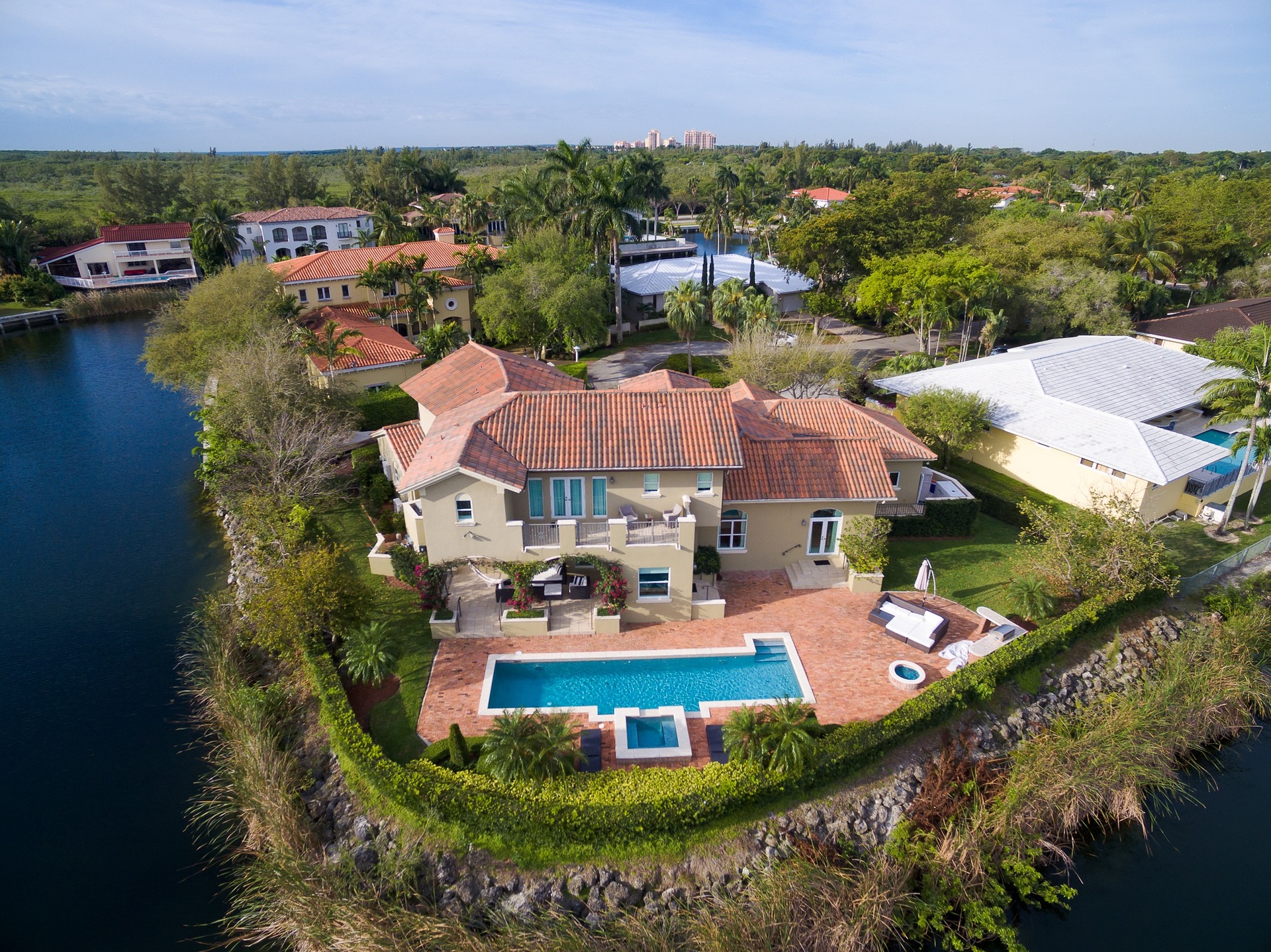
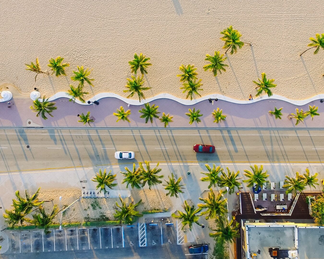
Video Production
Captivating Aerial Video Production perfect for showcasing products, events, and destinations from all angles.
Aerial Mapping
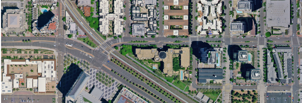
Ever wondered how those stunningly accurate maps and models of landscapes and buildings come to life? Enter drone-based 3D modeling! It’s like having a high-tech artist in the sky, capturing detailed aerial data to create three-dimensional representations. By using drones equipped with advanced sensors, professionals can swiftly and accurately assess terrain, optimizing earthwork planning with precise measurements. Plus, in the world of real estate, it offers a whole new perspective. Potential buyers can virtually tour properties and explore every nook and cranny, making informed decisions without leaving their couch. So, whether you’re sculpting the land for a new project or showcasing a dream home, drone-powered 3D modeling is your trusty sidekick, making tasks easier and outcomes more impressive.
Our Commitment
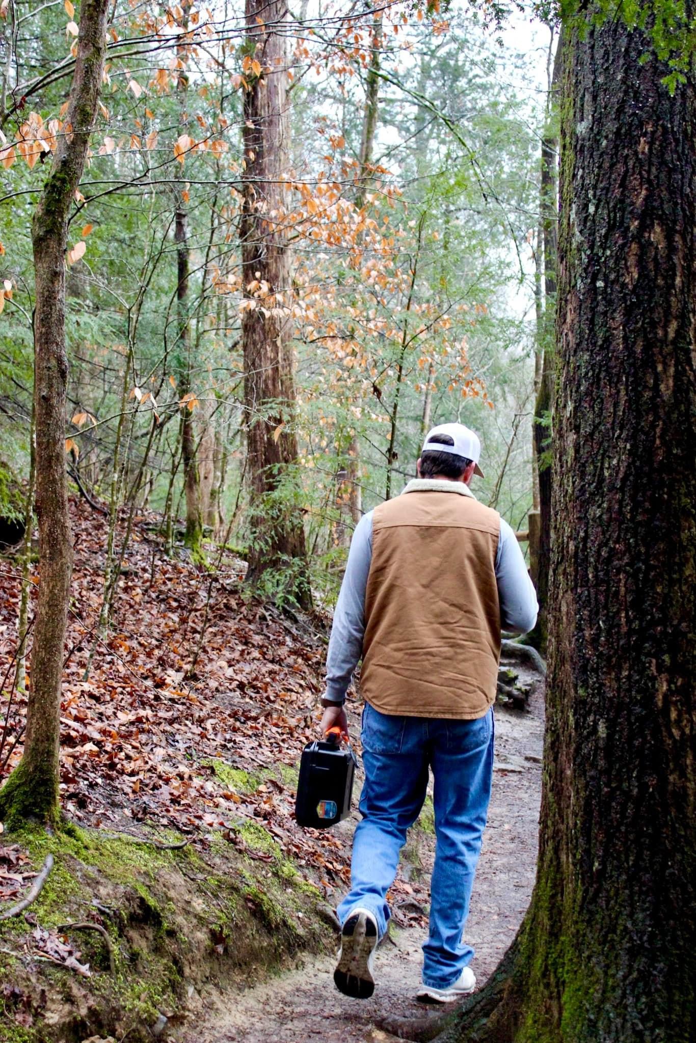
At Closer to Heaven, we are committed to delivering exceptional drone services tailored to the specific needs of the construction, real estate, and creative filming industries. Our team of experienced professionals is dedicated to providing high-quality aerial footage, photography, and surveying, ensuring that our clients receive the best possible results for their projects. We take pride in our reliability, precision, and innovative approach to aerial services, and we are passionate about helping our clients elevate their businesses with stunning aerial perspectives.
Testimonials
Outstanding aerial footage, exceeded our expectations. Highly recommended.
Emily K.
The real estate aerial photography provided was top-notch. It made our property stand out.
Sam T.
The drone surveying services were crucial for our construction project, saving us time and resources.
Elena M.
Contact Us
Get in touch today to elevate your projects with our exceptional drone services.
