Aerial Mapping
Unlocking the Power of Drone Orthomosaic and 3D Modeling
Orthomosiac Mapping
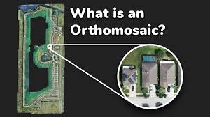
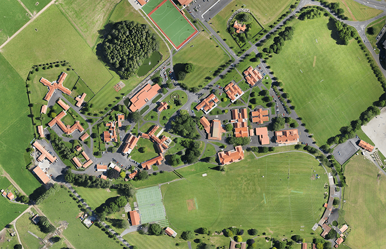
An orthomosaic map is a detailed and accurate aerial image of the Earth’s surface that has been geometrically corrected to remove any distortions and create a uniform scale throughout the image. This image is a result of stitching hundreds of aerial images together to depict the entire map.
– Quote-based pricing so that customers can customize drone services to fit their specific needs.


3D Modeling
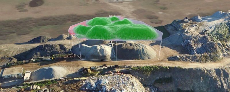
Drone-based 3D modeling captures aerial data to create detailed representations of landscapes and structures. For construction, it streamlines cut and fill measurements, aiding in precise earthwork planning. In real estate, it offers immersive views for better property assessment and marketing.

How It Works
Step 1: Fill Out Our Form
Step 2: We Come to You
Step 3: Sit Back and Enjoy the Results
Get Started Today!
From breathtaking aerial photography to accurate mapping and advanced infrared services, we’re ready to elevate your projects.
